 |
| ISLANDS A-Z | CRETE | CYCLADES | DODECANESE | EASTERN AEGEAN |
| IONIAN | SARONIC | SPORADES | MAINLAND | ABOUT US |
Hiking on Syros |
|
Northern Syros is well suited for hiking, the southern parts are flatter and do not have as beautiful scenery. If you are going to hike, I recommend Anavasis blue map (1:20,000), it describes twelve hikes on Syros, both easy and difficult. The map also include a very good map of Ermoupolis.
Hiking sign on the northern Syros.
Terrain maps is another Greek cartographic company specialized in hiking maps. They have a map of Syros, scale 1:20,000. Also that map describes twelve hikes and are available for purchase on the island.
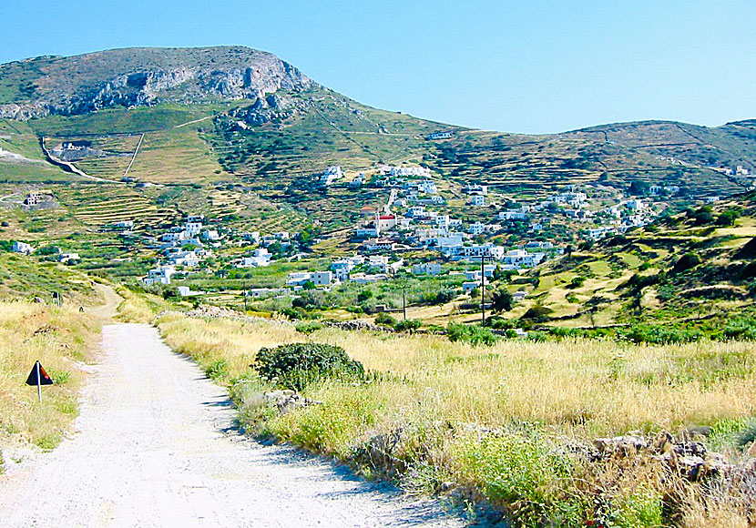
Northern Syros is the part that is most suitable for hiking.
On a hike to the archaeological excavations in Kastri. |
|
On a hike in the small village of San Michalis in the north of Syros.
On a hike to Grammata beach from San Michalis in northern Syros.

I usually just hike between Kini and Delfini Beach. :-) |
READ MORE ABOUT SYROS |
||||||
| About Syros | Getting here | Getting around | Villages | Beaches | Sights | Hotels |
HOME |
ABOUT US |
SEARCH |
BOOK HOTEL |
GREEK ISLANDS |
SWEDISH
|
|
© 2007-2026 | Janne Eklund | Kalispera and Kalimera. |