 |
| ISLANDS A-Z | CRETE | CYCLADES | DODECANESE | EASTERN AEGEAN |
| IONIAN | SARONIC | SPORADES | MAINLAND | ABOUT US |
Hiking on Skopelos |
|
As you can imagine, Skopelos is a first-class hiking island, beautiful scenery and rich wildlife are just some of the advantages. The fact that many of the old donkey and goat tracks are in good condition is also a big plus. The only downside that I can see, is that it can be difficult to find the way in many places since the vegetation is so dense. It's not like in the Cyclades where there are no trees or bushes.
Hiking among pine trees.
Skopelos offers very beautiful views during the hikes. Alonissos in the background.
Some hiking trails go down to the sea where you can take a cool swim. |
|
If you are going to hike on Skopelos, I recommend the blue map (1:25,000) published by Anavasi, which describes several hikes on the island. Terrain maps (or Skai Maps) is another Greek cartographic company specialized in hiking maps. They also have a map of Skopelos with a scale of 1:25,000. Both maps are available for purchase on Skopelos.
Road signs on the path leading to Agia Anna church and Agios Taxiarchis monastery.
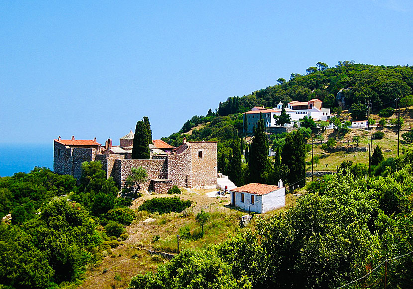
Agios Taxiarchis monastery on northeast Skopelos.
If you are not used to hike, I can recommend the short walk to
Sendoukia. Sendoukia is the name of a burial site from around
500 BC. Sendoukia is located on a plateau on Mount Delphi almost
in the middle of Skopelos. Three graves is all that remains, all opened
and looted. The graves,
On a hike to the tombs of Sendoukia. |

East of Skopelos town are several beautiful monasteries that it is possible to hike between.
|
READ MORE ABOUT SKOPELOS |
||||||
| About Skopelos | Getting here | Getting around | Villages | Beaches | Sights | Hotels |
HOME |
ABOUT US |
SEARCH |
BOOK HOTEL |
GREEK ISLANDS |
SWEDISH
|
|
© 2007-2026 | Janne Eklund | Kalispera and Kalimera. |