 |
| ISLANDS A-Z | CRETE | CYCLADES | DODECANESE | EASTERN AEGEAN |
| IONIAN | SARONIC | SPORADES | MAINLAND | ABOUT US |
Hiking in Serifos |
|
Like the neighbouring island of Sifnos, Serifos has an inviting landscape made for hikes. While Sifnos attracts hikers from near and far, there are still few who have discovered Serifos. There are still several of the old donkey paths on the northern parts of Serifos, one can also hike along the lush green streams of the valleys. The most beautiful period is the spring when the grass is green and the flowers are in bloom.
Serifos is a barren island, but there are small oases with vegetation and dovecots.
Several of the old donkey paths remain. The small village of Galani on the right.
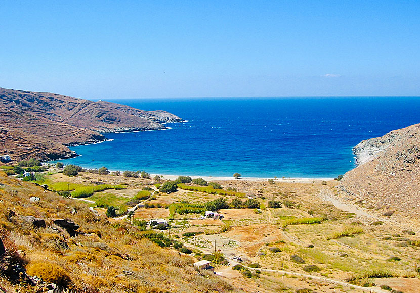
One of the finest hiking trails starts (signposted) at the small settlement (about three houses) of Pyrgos a few kilometres after the village of Panagia. There is a 6 kilometres hike from the sign down to Sikamia beach. Along the way you pass the village of Galani. The long Sykamia beach is a perfect end to an enjoyable hike. You should pre-order a taxi for your trip back. Or hike the same route back to the road where the rented car is waiting.
The path to Sikamia beach. |
|
If you are going to hike on Serifos, I recommend Anavasi's blue map (1:17,000) that describes several hiking routes on the island. Terrain Maps is another Greek cartographic company specialized in hiking maps. Their map of Serifos has a scale of 1:25,000 and describes fifteen hiking routes. Both maps are available for purchase on Serifos.

A swim at Sikamia beach is a good end to the hike.
The lonely beach of Sikamia.
It takes about 45 minutes to walk the donkey road from Livadi to Chora. |
READ MORE ABOUT SERIFOS |
||||||
| About Serifos | Getting here | Getting around | Villages | Beaches | Sights | Hotels |
HOME |
ABOUT US |
SEARCH |
BOOK HOTEL |
GREEK ISLANDS |
SWEDISH
|
|
© 2007-2026 | Janne Eklund | Kalispera and Kalimera. |