 |
| ISLANDS A-Z | CRETE | CYCLADES | DODECANESE | EASTERN AEGEAN |
| IONIAN | SARONIC | SPORADES | MAINLAND | ABOUT US |
Hiking on Schinoussa |
|
It is easy to hike on Schinoussa and you barely even have to have a hiking map. It is really nice to aimless venture out into the barren beautiful landscape and let chance decide where you end up. We have walked on Schinoussa many times, and we have seen the whole island. Mostly we like the northern part of Schinoussa where you rarely meet other people.
On a hike north. The small village of Messaria is visible in the background.
Same direction but via the road.
On a hike to Psili Amos beach via the village of Messaria. |
|
The dirt road that leads to Psili Amos beach.
Psili Amos beach.
The best hiking map of Schinoussa is published by the Greek cartographic company Terrain maps, also called Skai Maps. The scale is 1:25,000 and can be purchased on Schinoussa. The map describes the best hiking routes on the islands of the Small Cyclades: Donoussa, Iraklia, Schinoussa and Koufonissi.
On a hike to Livadi beach. |
|
I can also recommend the hiking book Amorgos, Naxos, Paros, Eastern and Northern Cyclades by Dieter Graf. The book describes many hikes in the area, including two hikes on Schinoussa. The book could possibly be available for purchase on Schinoussa, otherwise you will find it on larger islands, or buy it on internet.

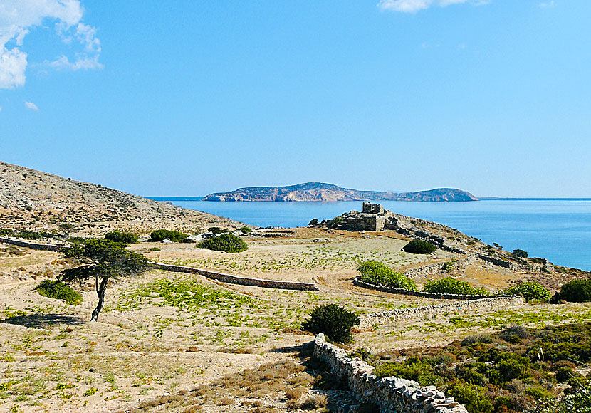
The landscape on Schinoussa is barren and hiking friendly.
If you hike on Schinoussa you will find small solitary beaches such as Kalimera beach. |
READ MORE ABOUT SCHINOUSSA |
||||||
| About Schinoussa | Getting here | Getting around | Villages | Beaches | Sights | Hotels |
HOME |
ABOUT US |
SEARCH |
BOOK HOTEL |
GREEK ISLANDS |
SWEDISH
|
|
© 2007-2026 | Janne Eklund | Kalispera and Kalimera. |