|
| ISLANDS A-Z | CRETE | CYCLADES | DODECANESE | EASTERN AEGEAN |
| IONIAN | SARONIC | SPORADES | MAINLAND | ABOUT US |
Hiking on Donoussa |
|
|
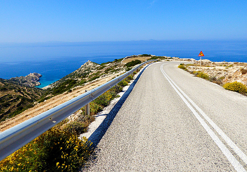
The previously so beautiful hiking route around the island has been partially destroyed by the "new" road. But it is still practicable, you're only obliged to the road here and there, parts of the hike is still along the old donkey paths.
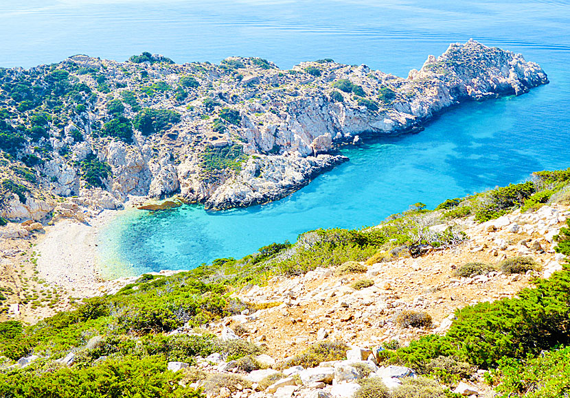
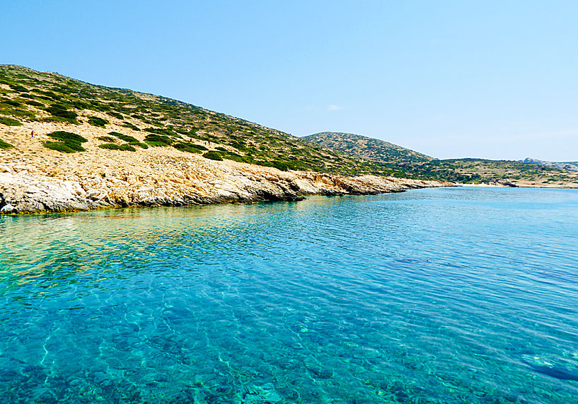
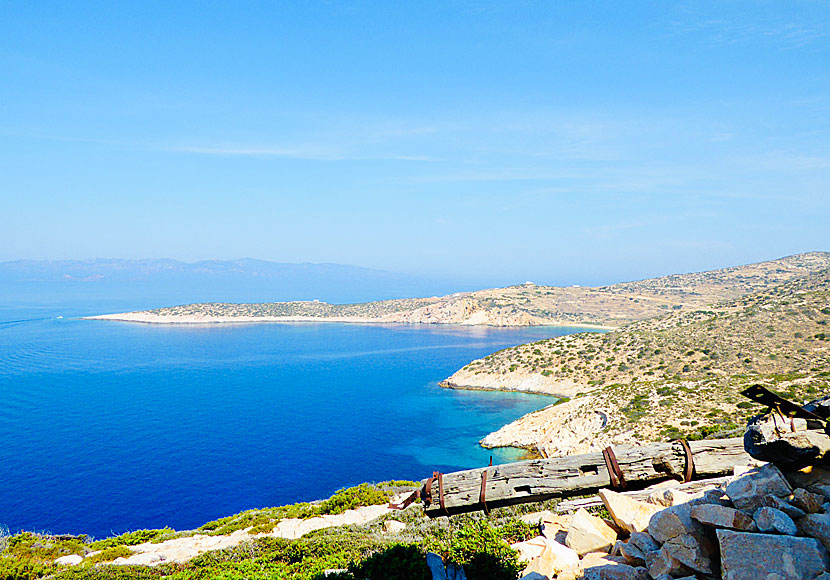
You can get to secluded beaches like this when you hike on Donoussa.
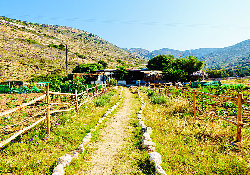
If you are hiking on Donoussa you can go to solitary beaches where you can be alone. Keep in mind that there are only tavernas in Stavros, Kalotaritissa, Mersini and at Kedros beach.
Taverns are located in Stavros, Kalotaritissa, Mersini and here at Kedros beach.
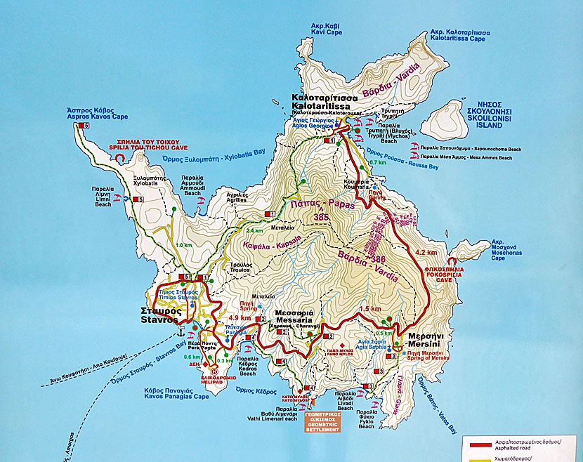
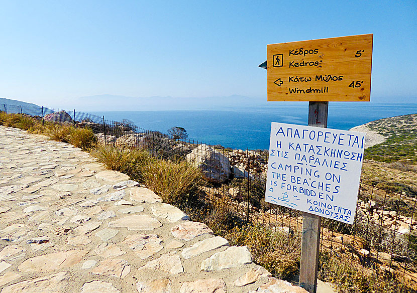
The most interesting hiking route begins in Stavros and you first hike to Kalotaritissa in the north, then continue south to Mersini and Livadi beach, and then on to Kedros beach, and finally ends in Stavros.
The hiking trail between Stavros and Kalotaritissa has number 1. |
|
The hike is easy and there is no risk of getting lost. (Parts of the route is along the road.) If you can't go all the way back, take the bus from Kalotaritissa. Check the bus timetable in Stavros port before so you know what time the bus leaves.
There are five excellent hiking trails, number 4 goes to, among other things, Kalimera beach.
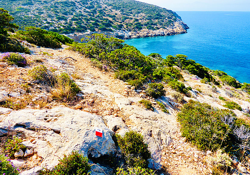
You can take the bus to Kalotaritissa and walk to Tripiti beach on the right in the picture.
Parts of the hikes go via the road between Stavros and Kalotaritissa. |
|
The best hiking map of Donoussa is published by the Greek cartographic company Terrain maps, also known as Skai Maps. The scale is 1:25,000 and the map is available for purchase on the Donoussa. The map describes the best hiking routes in the Small Cyclades: Donoussa, Iraklia, Koufonissi and Schinoussa.
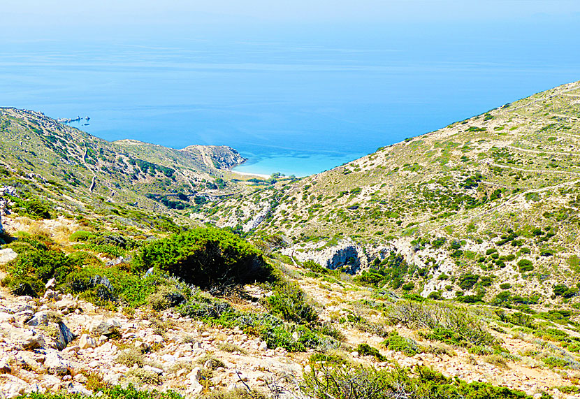
You can go to Livadi beach by boat or hike.
The island's shortest hike runs between Stavros and Kedros beach.
Donoussa offers a barren, but oh so beautiful and hiking-friendly landscape. |
READ MORE ABOUT IRAKLIA |
||||||
HOME |
ABOUT US |
SEARCH |
BOOK HOTEL |
GREEK ISLANDS |
SWEDISH
|
|
© 2007-2026 | Janne Eklund | Kalispera and Kalimera. |